Aerial services
As from January, 2017, DutchInspect BV offers licenced Aerial Services.
By using a high-tech drone, the latest imaging software and autonomous flight, we offer:
Area imaging / project imaging
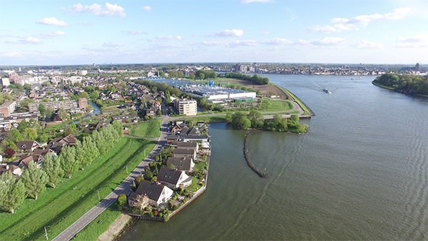
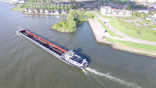
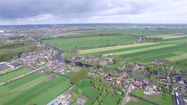
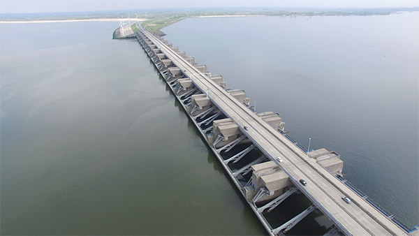
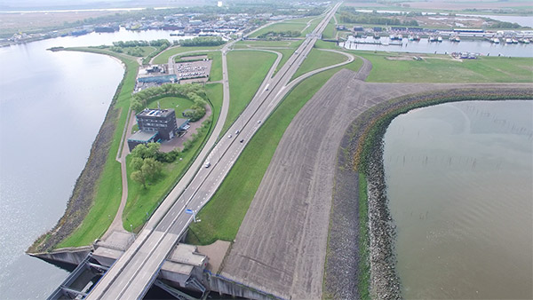
For your project, business promotion or any other application, we offer images and videos in HD. Drone imaging allows to capture images from angles that previously could only be made at high costs like the use of cranes or mobile platforms. Drone imaging can also be used for inspections on places which are difficult to reach (power masts / roof tops / bridges / wind turbines and more)
Drones can also map your project and provide with a full 3D image. Examples:
- Buildings, bridges or any other structure
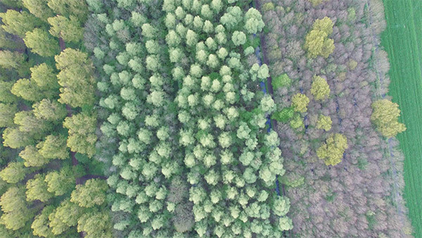
- Agricultural areas
- Storage areas (outdoors as well as indoors)
- Mining areas
- Exploration areas
Specific software allows drone imaging to create a full 3D image from your project / stockpile or other from which one can take the exact measurements. This same technology also allows volumetric calculations; by flying over a stockpile, the precise volume can be measured. This technique requires the drone to have access to GPS signals.
A new drone is being developed to also provide volumetric imaging inside warehouses where GPS signals are not available. We expect this drone to become operational late Q1 2017. We will keep you up to date on developments on this site.
Thermal imaging
A special camera for thermal imaging can be used to create images showing the object in Infra Red. This allows to measure differences in temperature and to convert this into coloured images showing the hot spots in or on your object. Amongst the many applications, one can think of finding poorly isolated places in structures or buildings (heat-leaks).
This technique can specifically be applied to frequently monitor the temperature on stockpiles of coal and/or woodpellets; both commodities subject to spontaneous combustion. The thermal images can be projected onto a 3D image made in the visible light.
Presently, thermal monitoring is conducted actively or passively:
- Actively by sending a surveyor onto a stockpile with temperature probe or by taking images with a handheld Flir thermal camera.
The disadvantages from these two methods are:
- A surveyor can only access stockpiles (outdoors) with a safe slope to walk on. When a part of a stockpile has been removed; a steep slope will prevent the surveyor for accessing this part of the stockpile for reasons of personal safety. This part of the stockpile thus will not be monitored.
- The operator of the handheld Flir camera has to be able to approach the stockpile from all sides. To capture the entire stockpile, the operator has to maintain a distance from the stockpile in order to capture. When the stockpile is partially removed, it is difficult to determine the position of the older images compared to the new situation and thus difficult to compare the images. Comparing images is required to be able to observe differences in temperature over time. Hot spots are easily missed by these techniques
- Passively by placing thermo probes in stockpiles – often applied for stockpiles woodpellets (indoors). These thermos probes have the disadvantage that they only monitor the temperature at the place where they are positioned. A local rise in temperature outside the immediate vicinity of the thermos probe will be missed.
Thermal imaging with a drone counters most disadvantages of the currently used active or passive techniques.
- A drone will always capture the entire surface of a stockpile, regardless of the angle of the slope preventing manual probing
- A drone can capture multiple stockpiles in a relative short period of time. Manual probing requires a lot of manhours. Also, the use of a drone excludes the ‘’human factor’’; errors made by using the incorrect distance interval during probing
- The images taken with a drone can be put in chronological order allowing the user to immediately see the difference in temperature when a hotspot emerges; quicker response times to prevent damage to stockpiles.
Hyperspectral Imaging
DutchInspect BV is developing hard- and software for hyperspectral imaging. Hyperspectral imaging captures images in wavelengths outside the visible light: Infra Red, Ultra Violet and beyond. These images show object-conditions not visible to the naked eye:
- Dry or wet spots in agricultural areas
- Areas with plantlife affected by disease
- Identification of mineral formations over large areas before sending in a surveying team
